Mapping & Spatial data
Accurate Data.
Better Decisions.
Faster.
From rapid aerial mapping to advanced LiDAR capture, we provide reliable data even in environments where traditional methods take longer
Understanding your site is critical to planning, execution and decision-making. Traditional survey methods can be time-consuming, resource-intensive and limited in coverage, especially in large, complex or vegetated environments.
We provide aerial mapping and LiDAR solutions that deliver accurate, scalable and repeatable data across a wide range of industries.
Surveyors
What we offer:
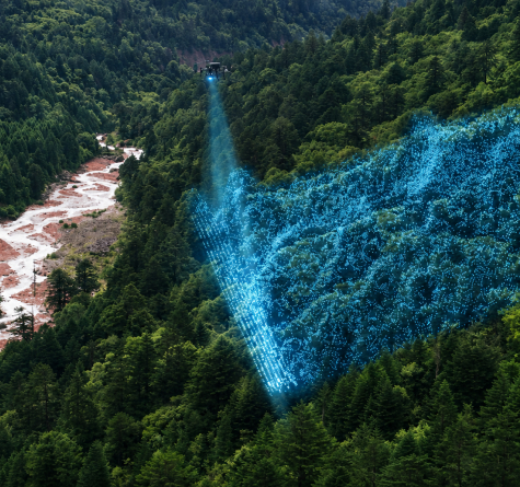
High-accuracy aerial surveys, including LiDAR for terrain capture in complex or vegetated environments.
Value to you:
Capture reliable ground data where traditional surveys or photogrammetry are limited.
Why Forestry Drones:
Our LiDAR capability enables accurate measurement through vegetation, reducing time spent in the field.
Civil Engineers
What we offer:
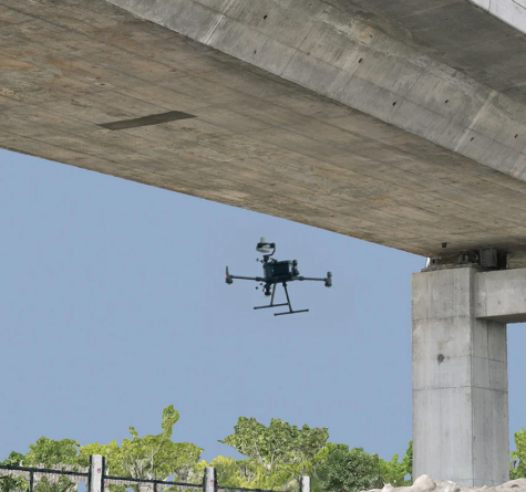
Detailed terrain models and site data using LiDAR and aerial mapping technologies.
Value to you:
Design with confidence using accurate and up-to-date ground information.
Why Forestry Drones:
We deliver structured datasets that integrate directly into engineering workflows.
Construction & Project Managers
What we offer:
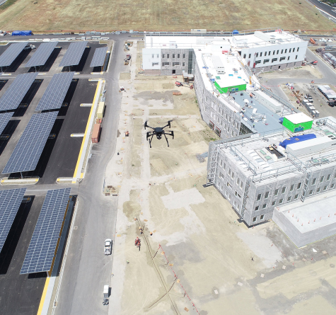
Ongoing aerial mapping and LiDAR-supported monitoring across the lifecycle of your project.
Value to you:
Track progress, measure change and maintain visibility without interrupting operations.
Why Forestry Drones:
We provide consistent, repeatable data capture that supports effective project control.
Mining & Infrastructure Teams
What we offer:
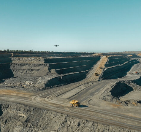
Volume calculations, terrain mapping and condition monitoring across large-scale sites.
Value to you:
Improve operational visibility and reduce reliance on manual measurement processes.
Why Forestry Drones:
We cover large, complex environments efficiently while delivering reliable, actionable outputs.
